Date written: 2 October 2019
Date posted: 7 October 2019
This post was written by hand in my diary on the road, and entered into the blog when I got home.
Today’s ride was by far the toughest, most gruelling bicycle ride I’d ever undertaken, and pushed my body to limits I hadn’t exceeded for more than ten years.
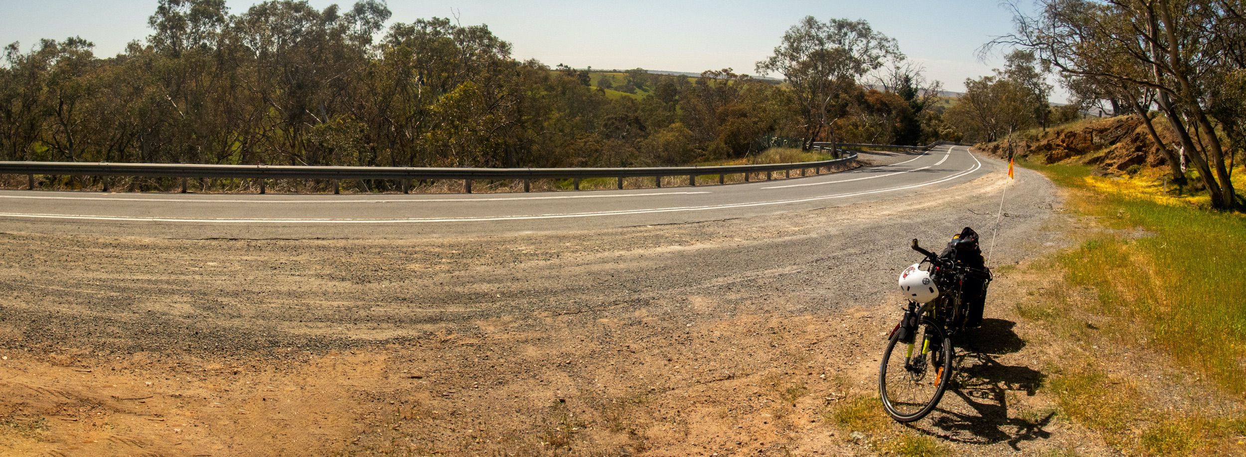
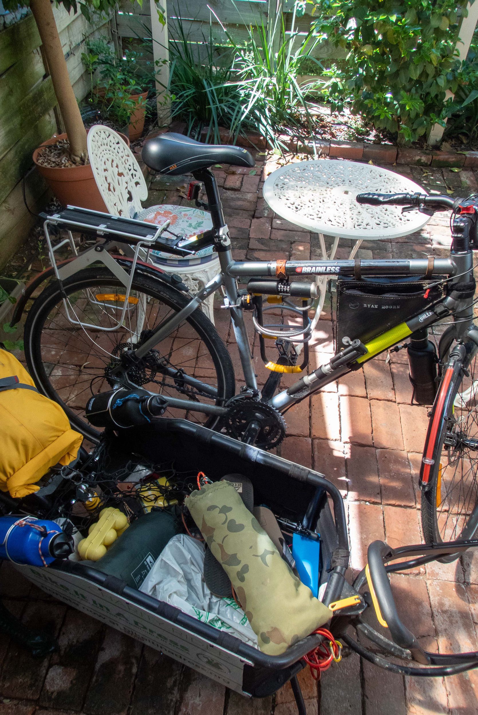
I packed up camp and left Murray Bridge early this morning, knowing how far I had to ride, and suspecting I’d be in for a rough go. I had a GPX route I’d received online from an Adelaide-based cyclist loaded up in my Garmin Edge 520 GPS bike computer, had plenty of nice cold water in all four bottles, plenty of bananas and a full tub of fresh scroggin from the local IGA.
As I headed out of Murray Bridge, I noticed the GPS on my iPhone was trying relentlessly to get me to join the M1 freeway, which is off-limits to bicycles, so my ‘back-up’ to the Garmin was essentially useless without stopping. Nevertheless, I headed up the Old Princes Highway, past the Monarto Zoo, and towards Callington. And that’s where things started to go wrong…
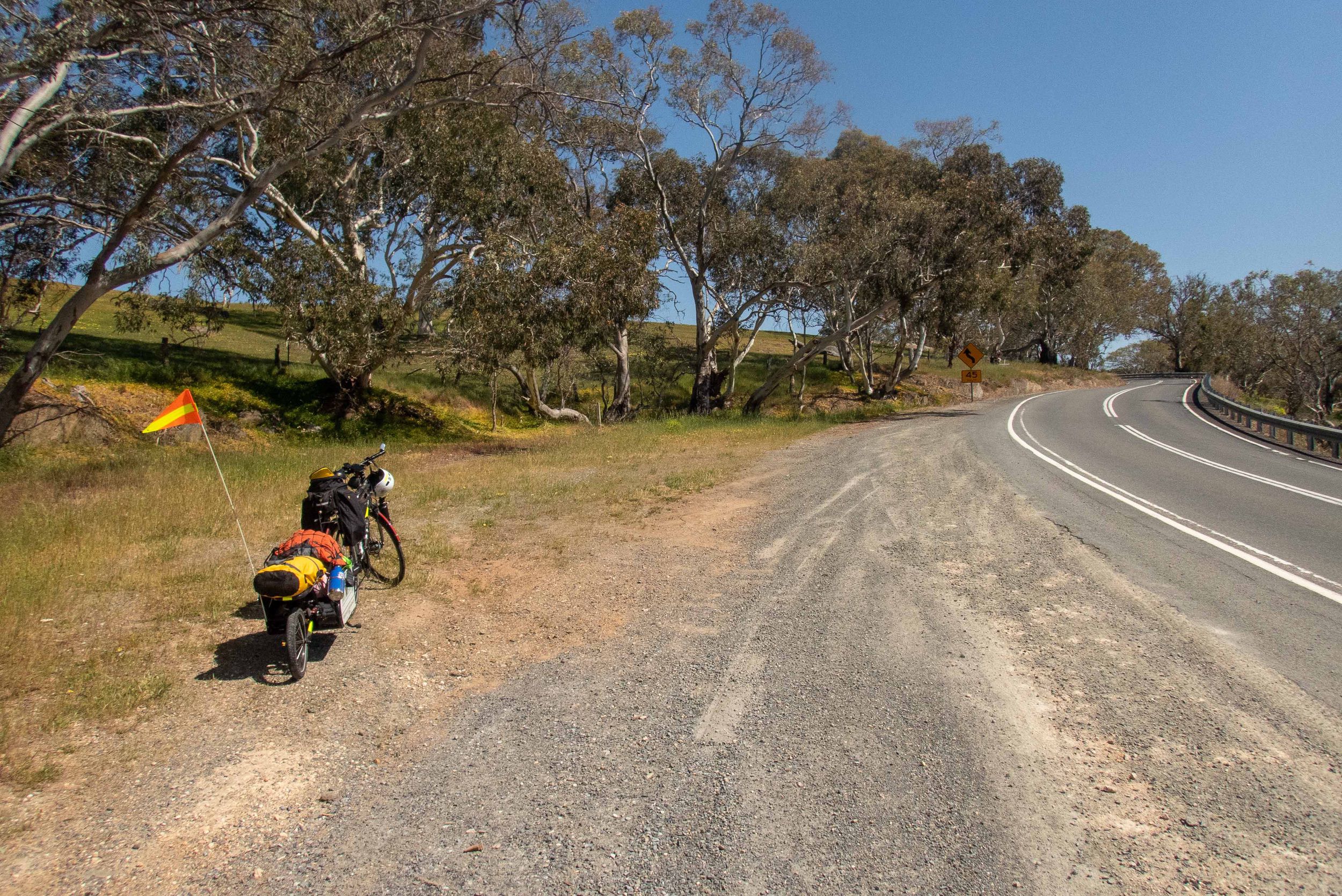
The GPX route I’d received took me through a copper mine. A miner, on his way into work, gave me some directions to proceed along the highway to Kanmantoo, where I could stop and plan my next step. I got to Kanmantoo, which was a very beautiful little heritage town nestled at the foot of the Adelaide Hills. The iPhone GPS still wanted to take me to the M1, and I had the wrong topographical map for this area, not being able to source the right one before I left (as an aside, Geoscience Australia in their ‘infinite wisdom’ will soon stop printing these maps entirely, relying on digital maps only — what could go wrong?).
The local general store in Kanmantoo told me that pretty much any road except for the main highway would lead me astray, so I decided to stick to the highway and press on through Dawesley, to Nairne and then Hahndorf. By the time I reached Nairne though, I was absolutely buggered. It had been 2.5 hours since I’d reached the copper mine and turned around, and I’d been averaging a paltry 7 kilometres per hour. My water was completely consumed in that time and I still felt dehydrated as the sun blazed down and the mercury kept rising. It wasn’t so much the steepness of the hills but the unrelenting, slow ascent over many kilometres, just sapping my energy. I arrived in Nairne and stopped at the service station to replenish my water bottles — a couple of awesome blokes at a roadworks just before Dawesley gave me some water as well — and smash down a Powerade sports drink, before heading up to Hahndorf. Nairne was a very beautiful little town full of nice old sandstone cottages, and I vowed to return for a better look around one day.
Hahndorf was a kitschy little place, a German-themed tourist town that on first appearance was kinda interesting, but the traffic and the crowds were just relentless, there were heaps of idiots on the road and I received a lot of honks and screams to get off the road and out of the way, to which I yelled back, “You want a European experience or not?” I couldn’t even stop to post an Instagram update, opting instead to ride just out of town where it was slightly more peaceful. In the end I wasn’t very impressed with Hahndorf, it seemed overly touristy, and just reminded me of Lorne in the Christmas holidays — i.e. an over-run, over-rated and over-priced circus. It was interesting to pass the Beerenberg farm though, being a very well-known brand of jams and such that we eat all the time at home.
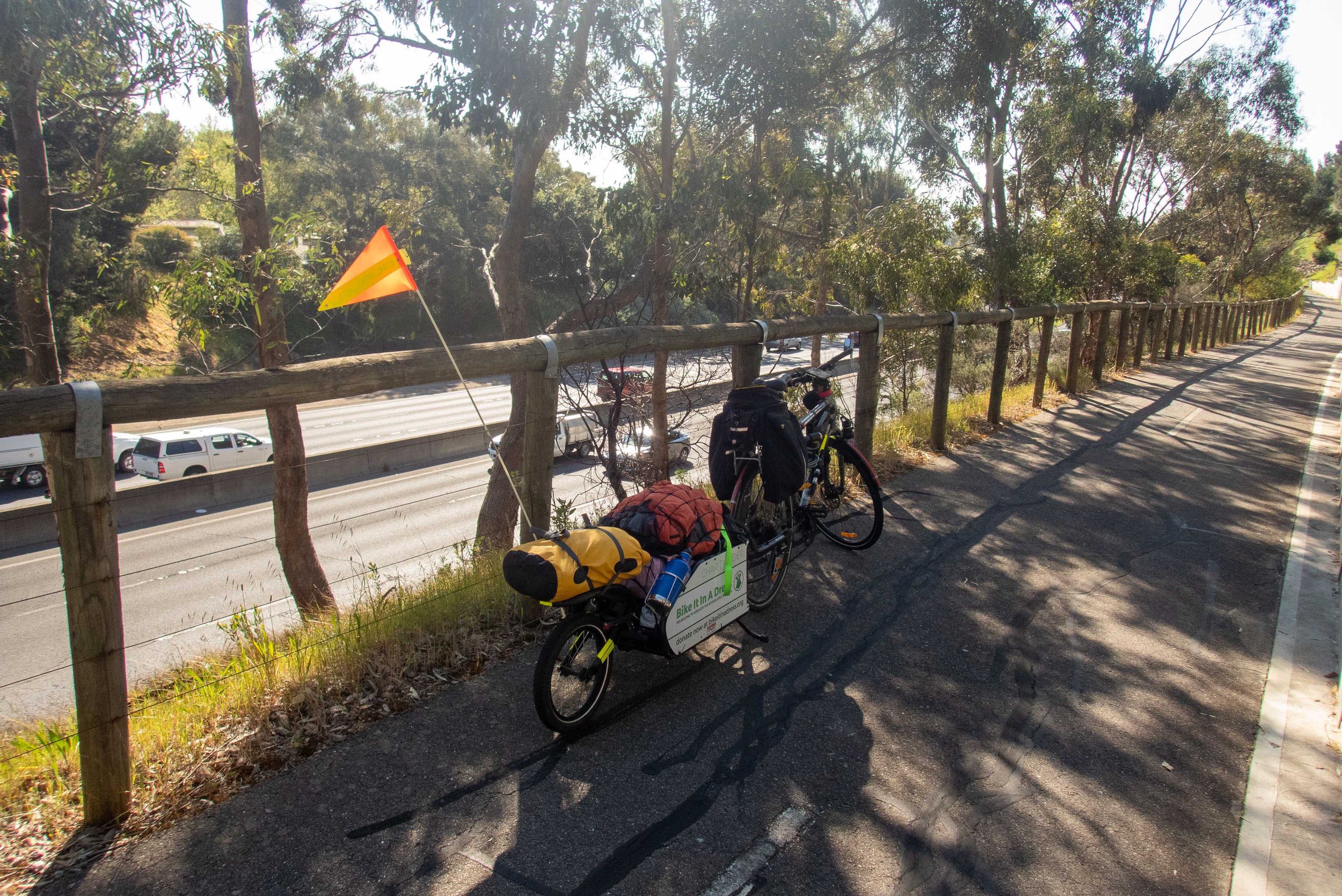
From Hahndorf, I really started to get lost. The GPS was useless. There was no signage to help cyclists navigate their way towards Adelaide, no little blue signs with a bike icon and an arrow, nothing. I crossed under the M1 and headed up Mount Barker Road, through Bridgewater and Aldgate, at which point I was finally on my topographic map. I weaved through the little streets and towns, beyond exhaustion as I faced hill after hill.
I was a few kilometres short of Crafers when I couldn’t ride any more, and pulled over to dismount and push my bike by foot. I fell over and must’ve passed out, completely ‘bonked’ as the cycling vernacular puts it. A wonderful bloke by the name of Andrew Gordon had seen me struggling and helped me sit up, get some more water and scroggin into me, and helped me get the bike up and going. He then spent more than an hour driving in front and behind me, as a support vehicle, ensuring I reached Crafers. We stopped at a café in Crafers where I bought him a Coke and a coffee and we had a quick chat whilst I replenished my food and got a breather. Then he resumed his adopted role as my support vehicle and showed me where the dedicated bike track along the old disused freeway, down the hill from Crafers into Adelaide CBD was. During this time, Andrew missed an appointment with his daughter, but was unwavering in his insistence that he help me out and ensure I got to the bike track safe. This guy was a bloody legend of the highest order, a true and kind Australian gentleman, and I doubt I would’ve found the bike route without him. He even donated $20 to the charity, as if he hadn’t done enough already. Wherever you are Andrew, thanks a bundle mate, you’re a star.
Having reached the bike track, and having long since surpassed the limit of my endurance, both for this day as well as the accumulated ten-day journey in general, flying down Mount Barker Road alongside the freeway, having to ride my disk brakes the whole way to stop my trailer from wobbling too much from the sheer speed, was beyond exhilaration and I fist-pumped the air as I realised that I’d done it — I was coming into the city of Adelaide.
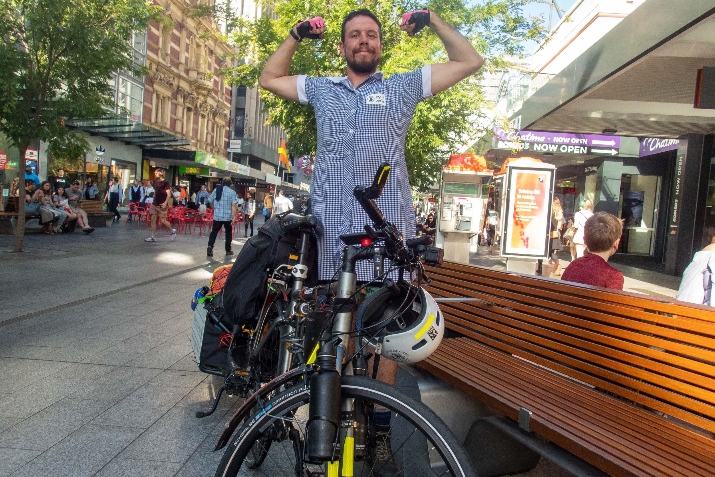
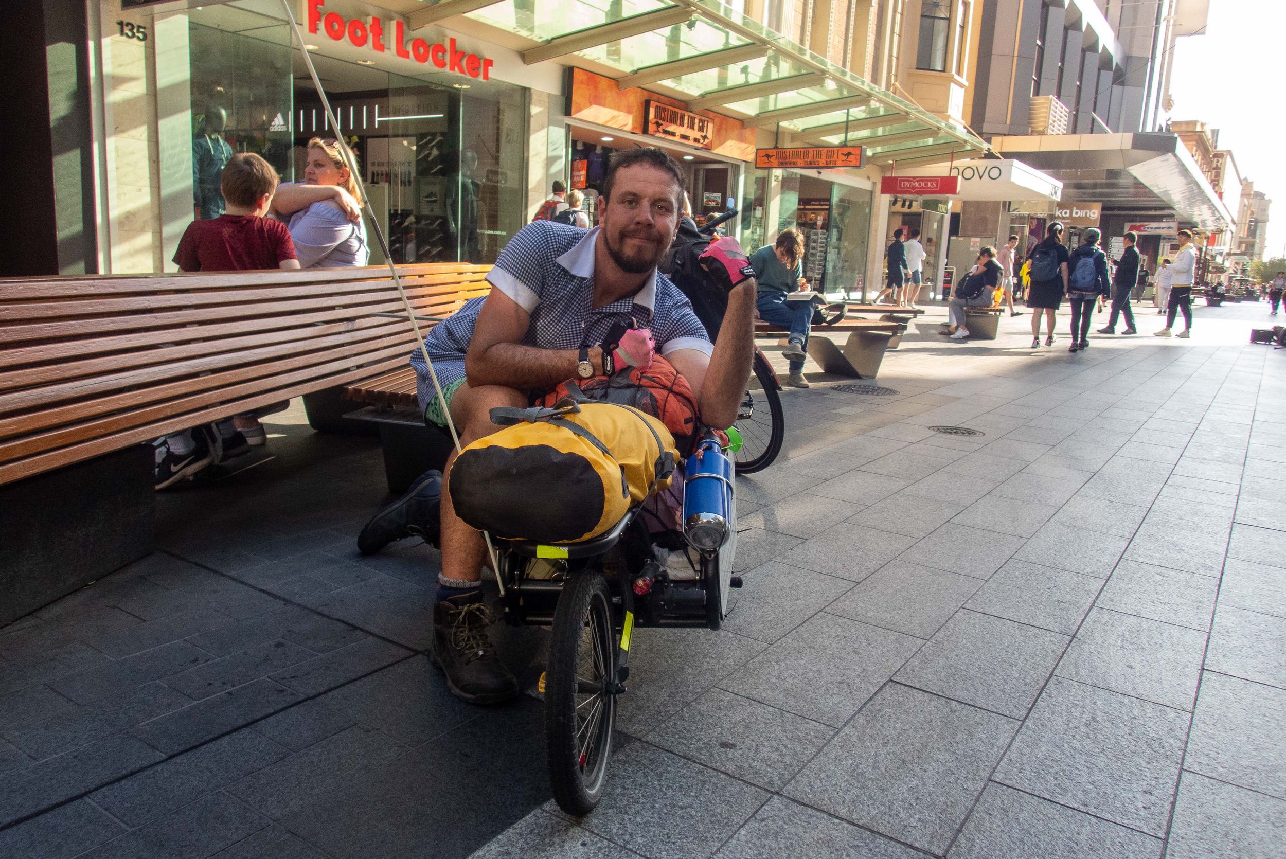
I rode along the city streets down Glen Osmond Road and then Pulteney Street like a conquering Roman caesar as I beamed with pride, appreciation and satisfaction, stopping at Rundle Mall and achieving what I’d set out to do six months earlier, with nothing more than a rough sketch of a plan and a crazy idea to ride to Adelaide in a school dress.
So many months of planning, so much hard work and so much pride. I wanted to show my children, Declan and Anneliese, that even ordinary ‘old’ and fat dads can do something to help, can do something bigger than themselves and push themselves.
I think I did that.
How I’d rate today’s journey:
Beyond my limit


The stats
Distance ridden
Riding time
Elevation (climbed)
Average speed
Average heartrate
Calories burned
Max speed
Temperature
Pedal strokes
This post first appeared at bikeitinadress.org
I have since retired the bikeitinadress.org website as it is no longer needed and was costing me money. I have copied the key articles here.